Furuno US & Canada Atlantic Coast, Gulf of Mexico, Caribbean Bahamas and central America Vector Charts - Unlock Code
U.S. & Canada Atlantic Coast, Gulf of Mexico, Caribbean, Bahams and Central America Vector charts, 3D data & standard resolution satellite photos - Unlock Code
**SYSTEM ID REQUIRED TO RECEIVE UNLOCK CODE**
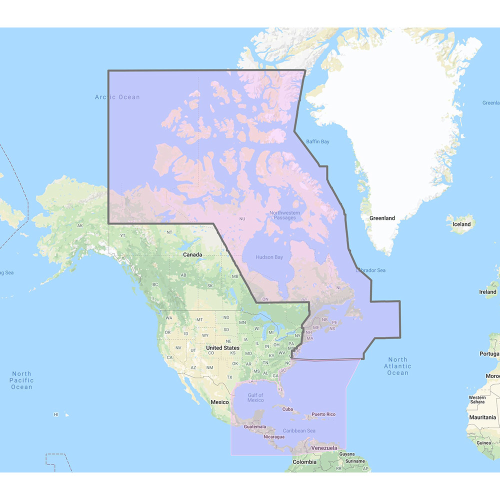
C-Map Mega Wide Chart - U.S. and Canada Atlantic Coast, Gulf of Mexico, Caribbean, Bahams and Central America Vector charts, 3D data & standard resolution satellite photos
This Chart Pack includes vector charts, 3D data and standard resolution satellite photography for the US and Canadian Atlantic Coast, Gulf of Mexico, Caribbean, Bahamas and Central America. C-Map chart data is used and converted to the TimeZero format.
These C-MAP charts are comprised of the same cartographic chart information found in C-MAP MAX and C-MAP MAX PRO charts.
To purchase this chart pack for NavNet 3D, TZT or TZT2, you will need to provide your NavNet system ID to your local authorized Furuno dealer. The system ID can be located under the “My NavNet” menu.
 WARNING: This product can expose you to chemicals which are known to the State of California to cause cancer, birth defects or other reproductive harm. For more information go to P65Warnings.ca.gov.
Easy and Convenient Drop-Shipping
CWR’s drop-shipping system has been crafted to meet your business needs. We understand that maintaining a competitive business means having access to shipping that is quick, convenient and affordable. Even at a moment’s notice, we are ready.
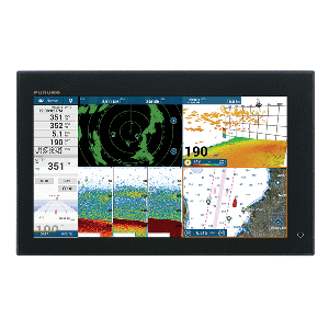
Top Selling Furuno Products
Export Data Easily
CWR understands how important data export is to allowing your business to thrive. From order history to shipment data files to product files and beyond, we provide a variety of ways to view and analyze data on your end.
Become a CWR dealer and get:
- instant access to our dealers-only website
- Wholesale pricing from over 300 brands
- No minimum order
- Flat rate shipping as low as $9.95
- Free FTP and website integration
BECOME A DEALER