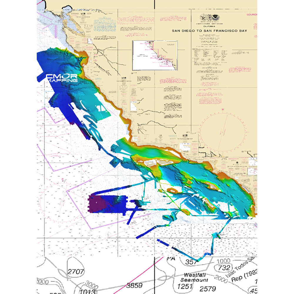
CMOR Mapping South California f/Simrad

Southern California for Simrad
SEE IT. DIVE IT. FISH IT.
CMOR Mapping’s game-changing, high-resolution bathymetric imagery for Simrad, Lowrance, B & G, and Raymarine chartplotters and Mercury VesselView displays brings the ocean floor into an entirely new level of focus for anglers and divers.
COMPLETE COVERAGE
CMOR Mapping data comes from methodical surveys of the entire bottom with high-resolution echosounders — not point soundings and historical records.
UNPRECEDENTED DETAIL
With resolution as high as 1 meter — meaning each pixel equals a square meter of bottom — we show you every ledge, coral head, and sunken culvert in unprecedented detail.
SEAMLESS COMPATIBILITY
Just insert a CMOR Mapping card into your plotter and zoom in to see bathymetric imagery. Your vessel icon shows your exact location relative to bottom features.
Free FTP System
FTP with CWR is easy, thorough, and detailed, no matter what kind of data you are transferring. Best of all, it’s free. No tedious data entry is needed when you're integrating your own business with our websites and databases
Top Selling CMOR Mapping Products
Upload Orders
Placing orders has never been easier. At CWR, you can upload a file with multiple orders, or place the file in our FTP server. We also offer a complete list of online tools for Electronic Data Interchange (EDI) and Extensible Markup Language (XML). Seamless, integrated, simple.
Become a CWR dealer and get:
- instant access to our dealers-only website
- Wholesale pricing from over 300 brands
- No minimum order
- Flat rate shipping as low as $9.95
- Free FTP and website integration
BECOME A DEALER


