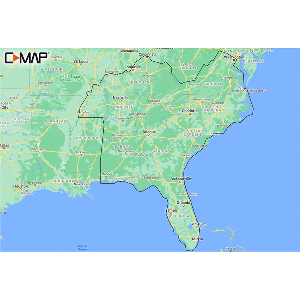
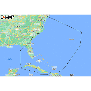
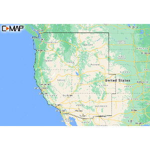
C-MAP M-NA-Y200-MS DISCOVER™ North America
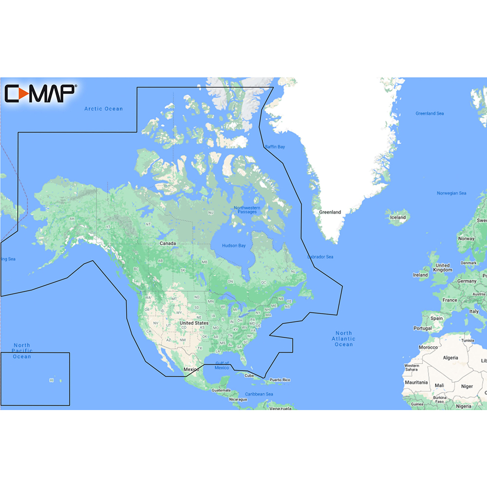
M-NA-Y200-MS DISCOVER™ North America
Whether cruising, fishing or sailing, C-MAP DISCOVER™ offers ultra-wide coverage and includes all of the core features you need to make the most of your time on the water. DISCOVER includes full-featured Vector Charts, with Custom Depth Shading, Tides & Currents and Easy Routing. It also includes the very best of C-MAP High Resolution Bathymetry, including integrated Genesis® data. Includes a full 12 months of online updates.
Full Featured Vector Charts
Provide boaters with the accurate, up-to-date vector chart detail including Depth Areas & Contours, Spot Soundings, NavAids, Light Sectors, Wrecks/Obstructions, and more.
Custom Depth Shading
Contours to display the highest level of information about underwater pinnacles, ledges and canyons that are magnets for offshore and coastal game fish.
High Resolution Bathymetry
High resolution detail of nearshore & offshore features such as pinnacles, canyons and ledges helping anglers find and target fish-rich waters.
Easy Routing
Automatically plots the shortest, safest route based on detailed chart data and vessel information. Takes two points and generates a suggested route.
Tides & Currents
Feature presents the time, water level and direction of tides with Tide Level graphs and indicates predicted current time, direction and strength. Flow graphs and coloured arrows.
Features:
- Ultra-Wide Coverage – the largest geographical coverage, without compromising on chart quality.
- Full Featured Vector Charts – making navigation easy by giving you accurate, up-to-date vector chart detail derive from official Hydrographic Office information.
- Custom Depth Shading – set a clear safety depth, maintain a paper-like view or create your own custom shading.
- High-Resolution Bathymetry – HRB layer helps you identify shallow areas, drop-offs, ledges, holes or humps. Now includes compiled and quality-controlled Genesis detail as part of singular HRB layer.
- Easy Routing – helps you automatically plot the shortest, safest route based on detailed chart data and your personalized vessel information.
- Tides & Currents – shows projections of water level and direction of tides to help plan your day out, cruising, angling or sailing.
- Detailed Marina Port Plans – docking in an unfamiliar port is no problem when you have precise layouts of thousands of marinas, including slip spaces, restricted areas and other valuable navigation information.
- Harbor & Approach Details – unprecedented level of detail. Approach any harbor and inlet with confidence. The perfect conclusion to a long voyage, sailing adventure or an exciting day of fishing.
- Online Updates – keep your chart up to date, with 12 months’ free online updates.
Easy and Convenient Drop-Shipping
CWR’s drop-shipping system has been crafted to meet your business needs. We understand that maintaining a competitive business means having access to shipping that is quick, convenient and affordable. Even at a moment’s notice, we are ready.
Top Selling C-MAP Products
Over 300 Brands at Your Fingertips
We have great relationships with some of the most respected and reliable brands in the business and we are here to pass on the benefits of those relationships to you, the client. With CWR, you can be assured that our customer service team is providing the best, most accurate, and most up-to-date information about your products.
Become a CWR dealer and get:
- instant access to our dealers-only website
- Wholesale pricing from over 300 brands
- No minimum order
- Flat rate shipping as low as $9.95
- Free FTP and website integration
BECOME A DEALER